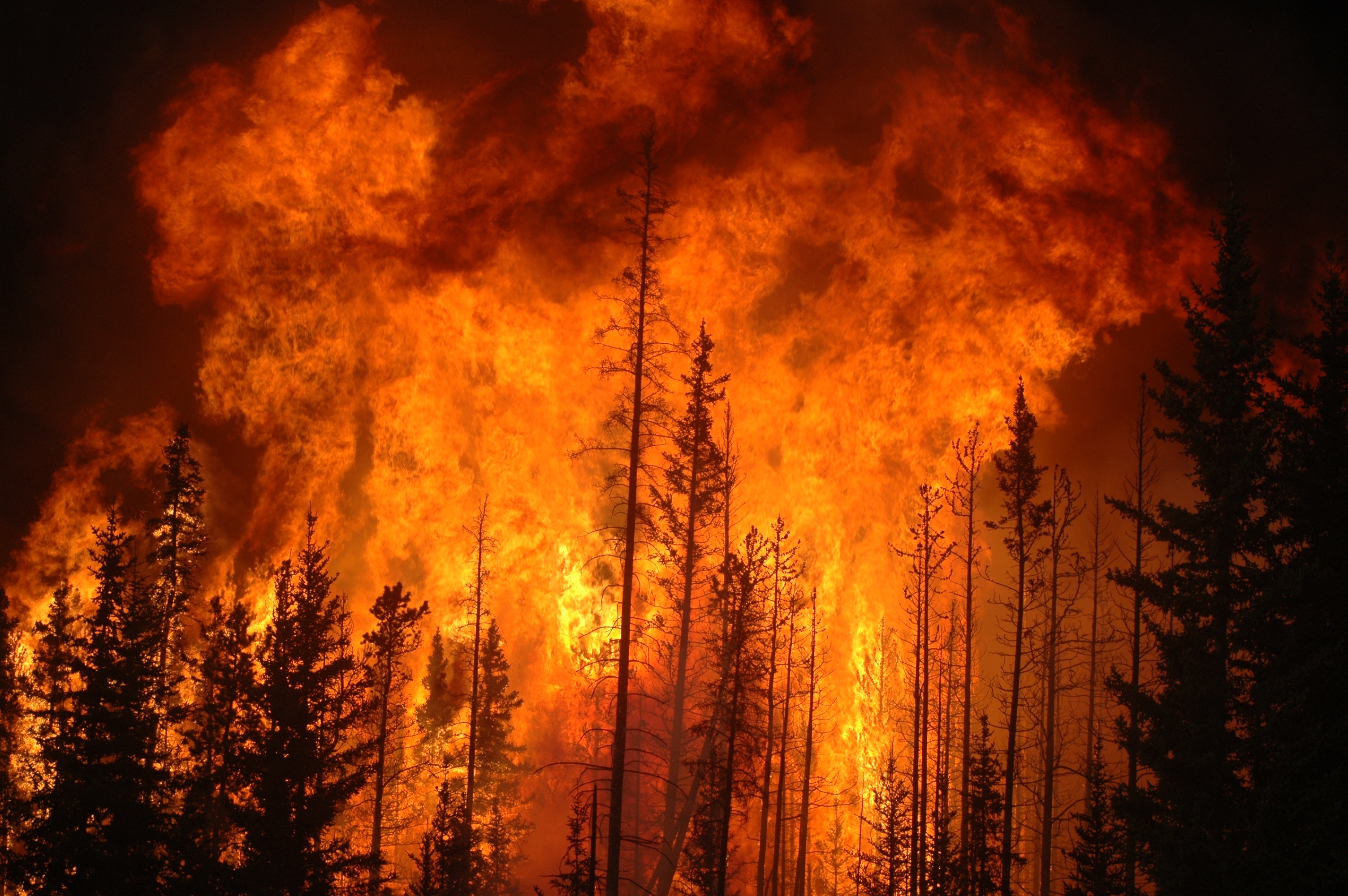
Summary: This week we filled out these sheets that were about a kind of sever weather. What we had to do on it is what kind of sever weather it is, what it is, where it likely to occur geographically, what it needs to form, links to the websites we used and a picture of the USA that we had to color the top areas it happens in. What I found out from all of the research is that in the USA California is the top state prone to wildfires. I found that a hurricane can let off 2.4 trillion gallons of water! One of the other things that I found is that hurricanes happen on the south side of the USA.
S&EP: SP2: Developing and using models
This week we colored in some places of the USA. The places that we colored in are the places that had the most of a kind of sever weather. The reason that we did this is because we are trying to find the safest place in the USA. For example for wildfires we had to find the top places in the USA with wildfires and color them in with a bold color. For wildfires in the USA the state with the highest amount of wild fires is California. For hurricanes it was harder because we had to color more about edge on the south of the USA. So this week we colored parts of the USA.
No comments:
Post a Comment